
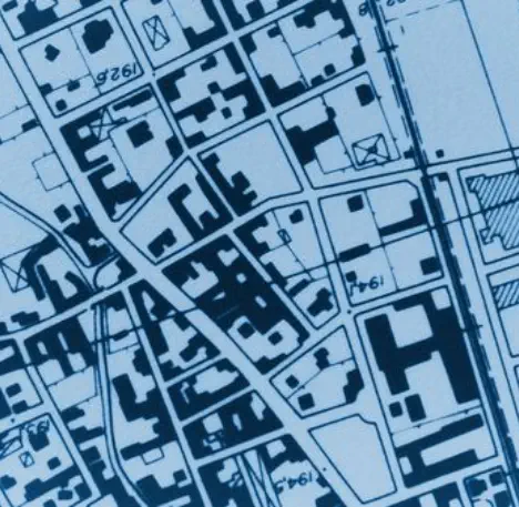
Property Mapping
Professional Services
Property Mapping
Chartered Surveyors Land Agents Valuers
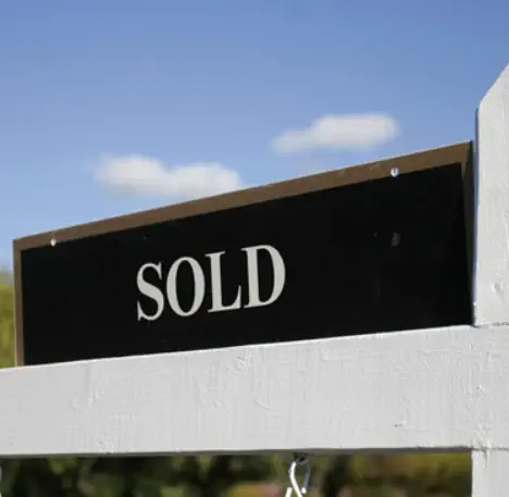
Valuations
How much is your property worth?
Request a free market appraisal
We are able to interpret scaled plans and drawings and utilise
digital Ordnance Survey data to plot areas on the ground.
•
Plotting New Features
•
Land Sale Plans
•
Ownership Plans
•
Land Registry Plans
•
Boundary Plans
•
Rural Land Register Plans
•
Measuring Areas
Agencies & Acquisitions
Basic Payments Scheme &
Environmental Stewardship
Homebuyers & Building Surveys
Property Mapping
Professional Services
Planning & Development
Rural Estate Management
Valuations


